Browser tool
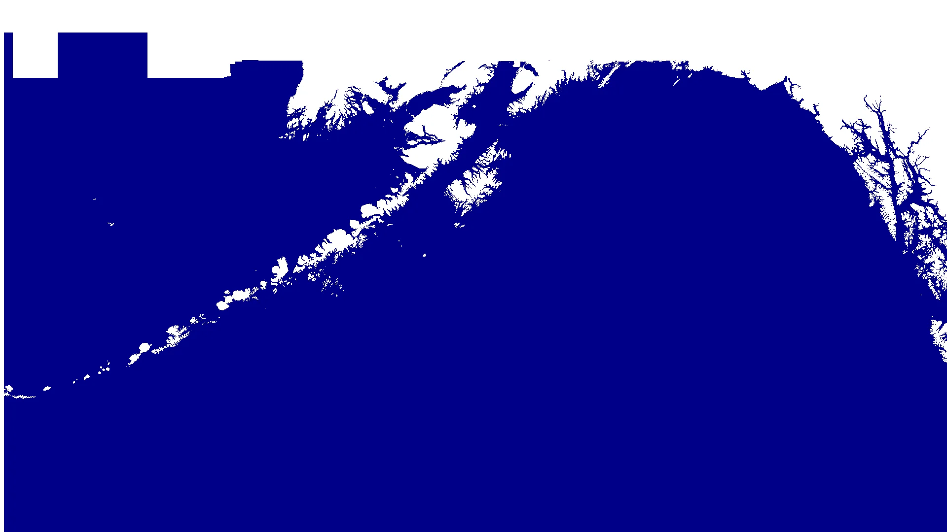
Gamma World Map (275 ft water level increase)
Printable/scrollable map that shows a 275 foot increase in sea level.
What it does
This is a map sheet laid out as a large grid, showing a 275-foot increase in sea level across the world. It’s, intended for use at the table when running Gamma World.
How to use it
- Open: Gamma World Map (275 ft)
- Use your browser zoom/print features as needed
Screenshots